Home / The water / Cayo Costa — The Water
Cayo Costa — The Water
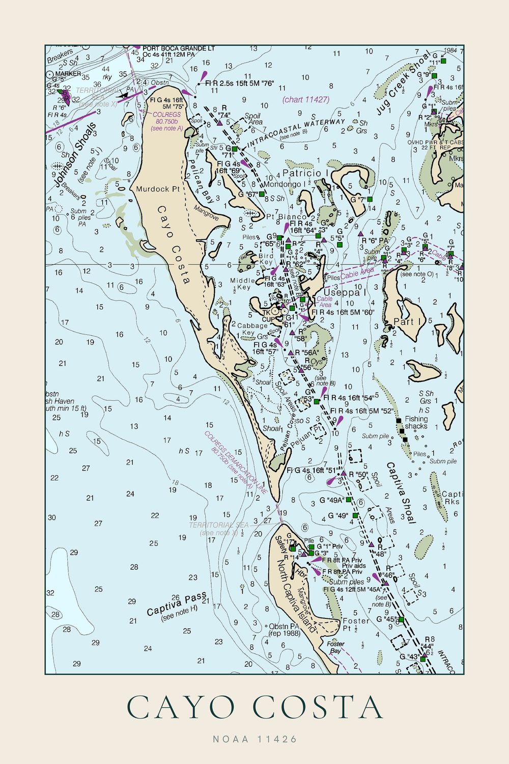
Cayo Costa on a NOAA chart, Boca Grande Pass to Captiva Pass
- Enhanced matte art paper, unframed
- Made to order — nothing is printed until you order
- Portrait, 2:3, sizes in inches
- Damaged in transit? Replaced free
A NOAA chart cropped around Cayo Costa. Murdock Point and Pelican Bay are at the top, North Captiva and Captiva Pass at the bottom, and Useppa, Cabbage Key and Part Island sit across the Intracoastal Waterway. Most of the island is a state park.
Chart imagery courtesy of NOAA Office of Coast Survey. Public domain. Modified for decorative use — not for navigation. Not endorsed by or affiliated with NOAA.
Part of the Cayo Costa set: the chart, shoreline and name together, all one size, from $99 instead of $117.