Home / The shoreline / Captiva — The Shoreline
Captiva — The Shoreline
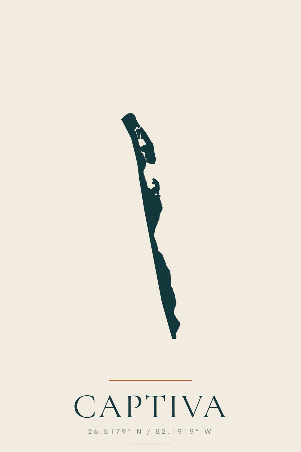
The outline of Captiva, with its name and coordinates
- Enhanced matte art paper, unframed
- Made to order — nothing is printed until you order
- Portrait, 2:3, sizes in inches
- Damaged in transit? Replaced free
Captiva's outline as a single thin line of land, top to bottom, with the name and coordinates (26.5179° N / 82.1919° W) below. It is a barrier island about 4.5 miles long and less than half a mile wide.
Contains information from OpenStreetMap, which is made available at openstreetmap.org under the Open Database License (ODbL).
Part of the Captiva set: the chart, shoreline and name together, all one size, from $99 instead of $117.