Home / The shoreline / Marco Island — The Shoreline
Marco Island — The Shoreline
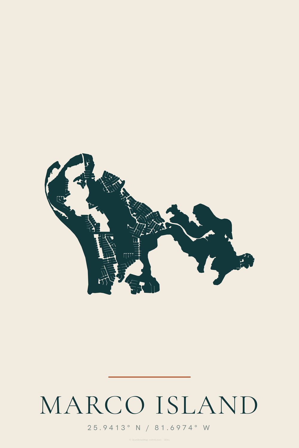
The outline of Marco Island, canals and all, with its coordinates
- Enhanced matte art paper, unframed
- Made to order — nothing is printed until you order
- Portrait, 2:3, sizes in inches
- Damaged in transit? Replaced free
Marco Island's outline with its canals cut into the land in fine pale lines, and the name and coordinates (25.9413° N / 81.6974° W) below. Marco is the largest barrier island in the Ten Thousand Islands area.
Contains information from OpenStreetMap, which is made available at openstreetmap.org under the Open Database License (ODbL).
Part of the Marco Island set: the chart, shoreline and name together, all one size, from $99 instead of $117.